- The 1975 launch of GOES-1 marked the first time humanity had a persistent, geostationary view of Earth's weather patterns.
- Modern GOES-R satellites utilize AI and machine learning to predict lightning, wildfires, and storm intensification in real-time.
- Satellite data has become a critical economic pillar for global logistics, insurance, and the renewable energy sector.
- The upcoming GeoXO mission will expand capabilities to include air quality and ocean health monitoring by the 2030s.
Beyond the Horizon: How the Launch of GOES-1 Redefined Global Tech and Climate Resiliency
From the first geostationary 'eye in the sky' to AI-driven storm prediction, the legacy of NASA’s 1975 milestone continues to shape our digital and physical world.
Oct 19, 2026·0 views
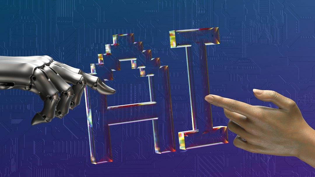
Key Takeaways
On October 16, 1975, a Delta rocket roared to life at Cape Canaveral, carrying a payload that would forever change how humanity perceives its home planet. That payload was GOES-1, the first Geostationary Operational Environmental Satellite. While today we take real-time weather updates on our smartphones for granted, the launch of GOES-1 represented a paradigm shift in both aerospace engineering and meteorological science.
Before GOES-1, weather satellites were primarily polar-orbiting, meaning they could only see a specific slice of the Earth a few times a day. GOES-1 introduced the revolutionary capability of geostationary orbit—hovering 22,236 miles above a fixed point on the equator. This allowed for continuous monitoring of the same area, enabling scientists to watch the birth, life, and death of weather systems in real-time. This wasn't just a win for meteorology; it was the birth of the 'persistent surveillance' era of Earth science.
The original GOES-1 was a marvel for its time, equipped with a Visible/Infrared Spin-Scan Radiometer (VISSR) that provided day and night images of the Earth’s cloud cover. However, the data processing of the 1970s was rudimentary compared to modern standards. Today, the GOES-R series (including GOES-16, 17, and 18) acts as a sophisticated high-speed data hub in space.
In the modern era, the intersection of satellite technology and Artificial Intelligence (AI) has become the new frontier. We are no longer just looking at pictures of clouds; we are processing petabytes of multi-spectral data.
- Lightning Mapping: Modern GOES satellites carry the Geostationary Lightning Mapper (GLM), the first of its kind. AI algorithms analyze these flashes in milliseconds to predict severe storm intensification before it happens on the ground.
- Wildfire Detection: Using infrared sensors, AI-driven systems can now detect heat signatures of new fires in remote areas hours before they are reported by human observers.
- Atmospheric Sounding: Modern sensors can 'slice' through the atmosphere to measure temperature and moisture at different altitudes, providing the raw fuel for complex numerical weather prediction models.
The legacy of GOES-1 extends far beyond the evening news weather report. In today's globalized economy, the data provided by these satellites is a critical infrastructure component.
For the Logistics and Supply Chain industry, geostationary data is the backbone of maritime and aviation safety. By predicting CAT-4 hurricanes or volcanic ash plumes with high precision, satellites prevent billions of dollars in potential cargo loss and fuel waste.
In the Insurance and FinTech sectors, the historical data archives started by GOES-1 are now used to train machine learning models that assess climate risk. As extreme weather events become more frequent, the ability to model '100-year storms' using decades of satellite imagery is essential for maintaining global financial stability.
Furthermore, the Energy Sector relies heavily on these observations. Solar farm operators use GOES cloud-cover forecasts to predict energy output, while utility companies use lightning data to protect the power grid from surges and outages.
As we look back at the 1975 launch, we must also look forward. NASA and NOAA are already developing the Geostationary Extended Observations (GeoXO) satellite system, slated to begin operations in the early 2030s. GeoXO will take the foundation laid by GOES-1 and expand it into the realm of environmental health.
Future missions will focus on:
- Air Quality Monitoring: Real-time tracking of nitrogen dioxide and particulate matter to improve public health outcomes in urban centers.
- Ocean Color Sensing: Monitoring the health of our oceans, including harmful algal blooms that impact fisheries and tourism.
- Enhanced Climate Tracking: Providing even more granular data to help nations meet their carbon neutrality goals through precise atmospheric monitoring.
The launch of GOES-1 on this day in 1975 was more than a technical achievement; it was an act of global stewardship. It moved us from a reactive posture—where we were often surprised by nature’s fury—to a proactive one.
In the context of modern 'Future Tech,' the GOES program serves as a reminder that the most impactful technologies are those that disappear into the background of our daily lives. Every time we check a weather app, avoid a storm during a flight, or benefit from a stable power grid during a hurricane, we are witnessing the ongoing success of a mission that began nearly half a century ago. The 'eye in the sky' is no longer just watching; thanks to AI and advanced sensors, it is now understanding and predicting the future of our planet.
Enjoying this article?
Get the daily AI briefing sent straight to your inbox.
Frequently Asked Questions
What is the difference between geostationary and polar-orbiting satellites?
Geostationary satellites (like GOES) orbit at the same speed the Earth rotates, allowing them to stay fixed over one spot. Polar-orbiting satellites circle the Earth from pole to pole, providing a global view but only seeing specific locations a few times a day.
How does AI improve weather forecasting with satellite data?
AI algorithms can process vast amounts of multi-spectral imagery to identify patterns, such as the rapid cooling of cloud tops or specific infrared heat signatures, allowing for faster warnings for tornadoes, hurricanes, and wildfires.
What is the next step after the current GOES-R series?
The next generation is called GeoXO (Geostationary Extended Observations), which will add advanced sensors for air quality, ocean biology, and more precise climate monitoring starting in the 2030s.
Comments
0Please sign in to leave a comment.
Related articles
Gemstones in the Clouds: Scientists Discover Exotic Weather on WASP-193b
Astronomers have identified potential gemstone-like particles in the atmosphere of WASP-193b, an ultra-low-density exoplanet that defies conventional physics.

Why Can You See the Moon During the Day? A Guide to Daytime Stargazing
Ever wondered why the Moon is visible during daylight hours? Experts explain the mechanics of lunar orbits and why this week offers prime viewing opportunities.
SpaceX Thrusters and the Tesla Roadster: A Deep Dive into Orbital Dynamics
Years after its historic launch, the Tesla Roadster remains a fixture in space lore. Recent developments in thruster technology have reignited interest in its trajectory.